

Today on the Strip
Monday, November 2, 2026
- Sunset
- 4:43 pm
- Dark (end of civil twilight)
- 5:10 pm
- Sunrise
- 6:05 am
- Normal high / low
- 74°F / 53°F
Computed for Las Vegas Boulevard at Flamingo Road; normals are NOAA's 1991–2020 daily values for Harry Reid International Airport. Any date · month by month.
Start here
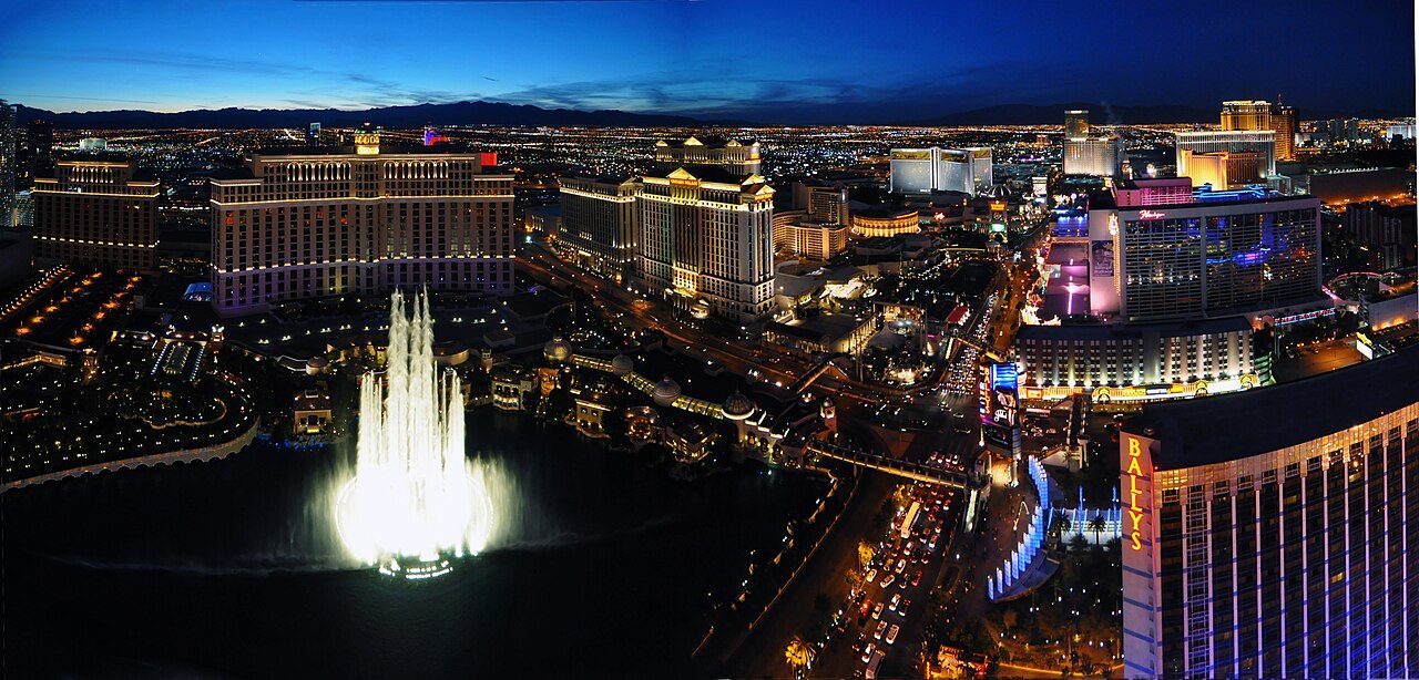
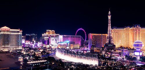 GuideThe StripFour miles of Las Vegas Boulevard, south to north, with what stands where and how far it really is.
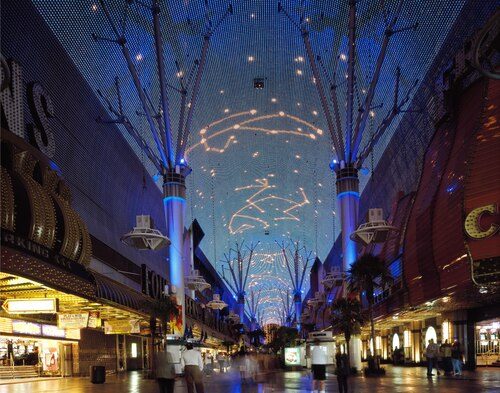 GuideFremont StreetDowntown, where the town began: the canopy, Fremont East, the Arts District.
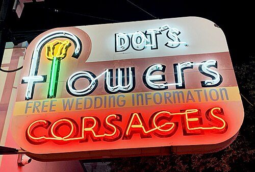 HistoryNeon historyHow Las Vegas learned to glow, who drew the signs, and where they went.
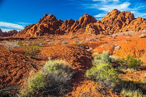 Out of townDay tripsRed Rock, Hoover Dam, Valley of Fire and three more, with their own heat and sunset.
Tools built from open data
Heat by monthNOAA normals: highs, lows, days over 100°F, rain. July averages 105°F.
Sunset and duskEvery day of the year, computed and checked against the Naval Observatory.
Walking distancesDoor-to-door walks between resorts on the real footpaths, plus the Monorail.
Resort timeline62 resorts: opened, renamed, closed, imploded. 16 implosions.
Signs worth seeing
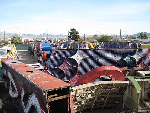 Founded 1996; open to the general public since 2012The Neon Museum and Neon BoneyardThe outdoor yard north of downtown where retired Las Vegas signs are kept, relit and explained, with a 1961 motel lobby as its front door.
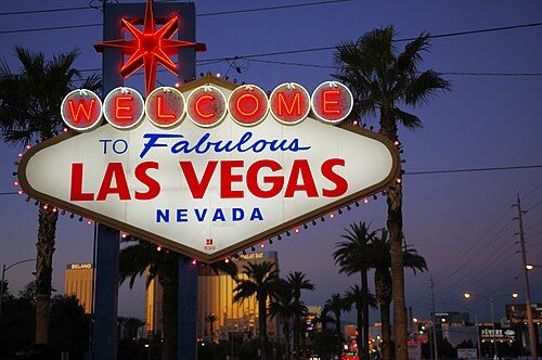 1959'Welcome to Fabulous Las Vegas' signBetty Willis's 1959 sign at the south end of the Strip: silver dollars, a red star, chasing bulbs and a message on the back for people leaving.
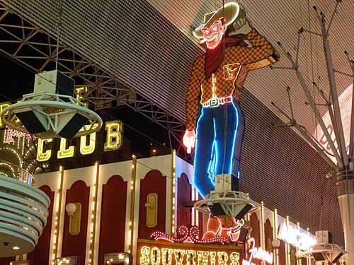 1951Vegas VicThe 40-foot neon cowboy who has looked down on Fremont Street since 1951, from the front of the old Pioneer Club.
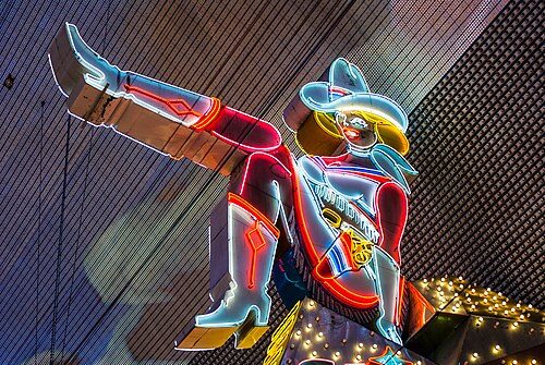 1980Vegas VickieFremont Street's 25-foot kicking neon cowgirl, put up in 1980, restored in 2020 and now inside Circa, the resort built on her old corner.
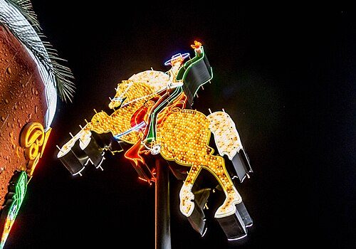 1967Hacienda Horse and RiderA galloping neon horse and rider from the long-gone Hacienda, the Neon Museum's first restoration, now on Las Vegas Boulevard at Fremont Street.
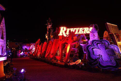 1958 (façade sign); 1968 (roadside pylon)The Stardust signsThe Stardust's space-age signs once ruled the Strip. Its giant letters now glow again in the Neon Boneyard.
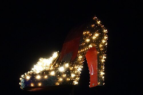 Mid-1950sSilver Slipper signA giant neon high-heeled slipper from a 1950s Strip casino, restored by the Neon Museum and lit on Las Vegas Boulevard North.
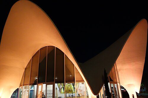 1961La Concha Motel lobbyA 1961 shell-shaped motel lobby by architect Paul Revere Williams, moved off the Strip in 2006 to become the Neon Museum's front door.
Closer than it looks? Rarely.
Megaresorts are so large that the next one always seems a short stroll away. Measured on the footpaths, bridges and crossings mapped in OpenStreetMap, from each resort to its neighbor:
| From | To | Walk |
|---|---|---|
| Mandalay Bay | Luxor | 0.37 mi · ~8 min |
| Luxor | Excalibur | 0.26 mi · ~5 min |
| Excalibur | New York-New York | 0.26 mi · ~5 min |
| New York-New York | MGM Grand | 0.14 mi · ~3 min |
| MGM Grand | Park MGM | 0.22 mi · ~5 min |
| Park MGM | Aria | 0.19 mi · ~4 min |
This month in Vegas history
- Opened November 22, 1989: The Mirage. Opens with a volcano out front, the start of the 1990s megaresort boom.
- Imploded November 7, 1995: Landmark. Imploded; the site becomes convention center parking.
- Imploded November 26, 1996: Sands. Imploded.
- Closed November 25, 1997: Aladdin. Closes.
- Opened November 15, 2001: Palms. Opens west of the Strip on Flamingo Road.
- Closed November 17, 2005: Westward Ho. Closes; demolished in 2006.
- Closed November 1, 2006: Stardust. Closes.
- Imploded November 13, 2007: New Frontier. The 16-story tower is imploded.
Out of town
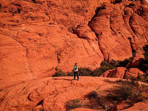 14 mi from the StripRed Rock Canyon National Conservation AreaStriped sandstone, a gray limestone wall and a one-way scenic drive on the valley's western edge, with timed entry from October through May.
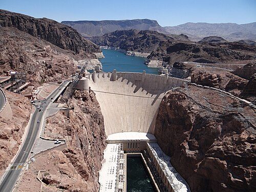 25 mi from the StripHoover DamA 726-foot concrete arch-gravity dam in Black Canyon, finished in 1936, with tours, Art Deco sculpture and a view from the bypass bridge.
43 mi from the StripValley of Fire State ParkNevada's oldest state park: flaming Aztec sandstone, 2,000-year-old petroglyphs and Depression-era stone cabins, with many trails shut in summer.
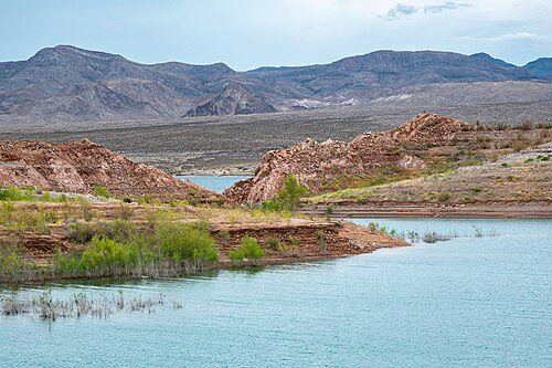 22 mi from the StripLake Mead National Recreation AreaThe country's first national recreation area: desert shoreline, a rail trail through five tunnels and a ghost town the falling lake gave back.
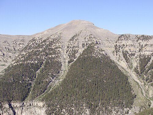 26 mi from the StripMount Charleston (Spring Mountains National Recreation Area)Pines, cliffs and cooler air above the desert: Kyle and Lee canyons in the Spring Mountains, topped by 11,918-foot Charleston Peak.
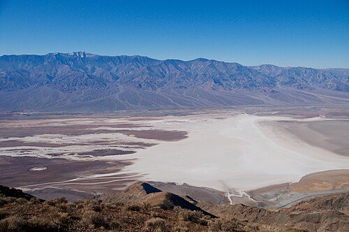 97 mi from the StripDeath Valley National ParkSalt flats 282 feet below sea level, painted badlands and dunes, and the hottest air temperature on record: a long, rewarding day from Las Vegas.