
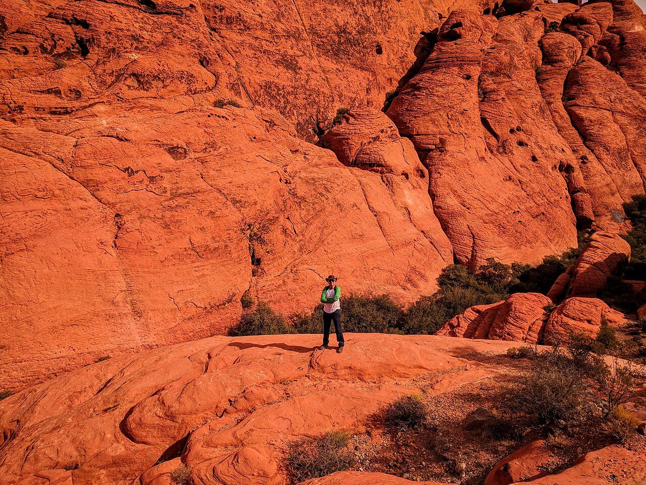

 14 mi straight-lineRed Rock Canyon National Conservation AreaStriped sandstone, a gray limestone wall and a one-way scenic drive on the valley's western edge, with timed entry from October through May.
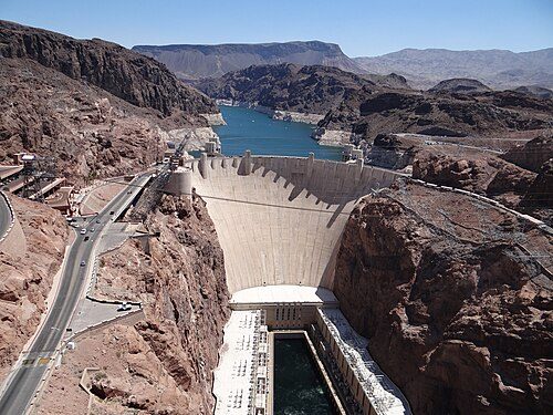 25 mi straight-lineHoover DamA 726-foot concrete arch-gravity dam in Black Canyon, finished in 1936, with tours, Art Deco sculpture and a view from the bypass bridge.
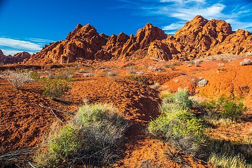 43 mi straight-lineValley of Fire State ParkNevada's oldest state park: flaming Aztec sandstone, 2,000-year-old petroglyphs and Depression-era stone cabins, with many trails shut in summer.
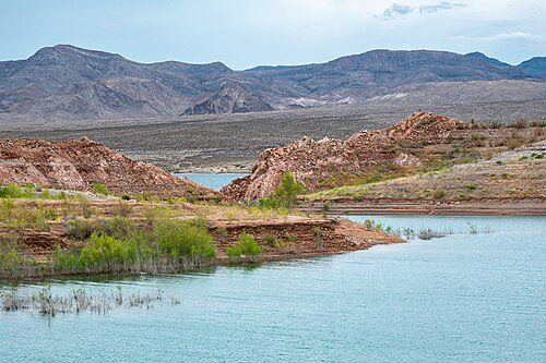 22 mi straight-lineLake Mead National Recreation AreaThe country's first national recreation area: desert shoreline, a rail trail through five tunnels and a ghost town the falling lake gave back.
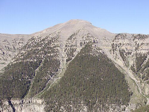 26 mi straight-lineMount Charleston (Spring Mountains National Recreation Area)Pines, cliffs and cooler air above the desert: Kyle and Lee canyons in the Spring Mountains, topped by 11,918-foot Charleston Peak.
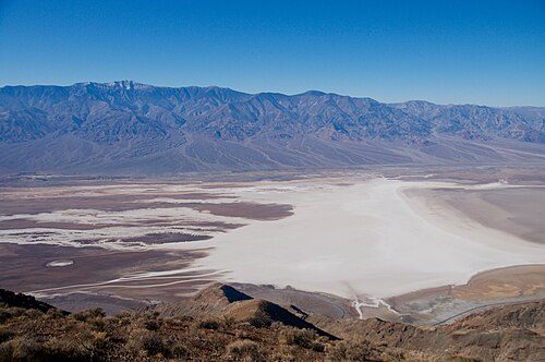 97 mi straight-lineDeath Valley National ParkSalt flats 282 feet below sea level, painted badlands and dunes, and the hottest air temperature on record: a long, rewarding day from Las Vegas.
How hot, compared with the Strip
Average daily high in July and January from NOAA's 1991–2020 normals for the weather station nearest each place, against Las Vegas (Harry Reid International Airport, 105°F in July). Elevation changes everything here: the Spring Mountains run some 25°F cooler, Death Valley well over 10°F hotter.
| Place | Station | July high | vs Strip | January high | Straight-line distance |
|---|---|---|---|---|---|
| Las Vegas Strip | Harry Reid Intl Airport | 105°F | — | 59°F | — |
| Red Rock Canyon National Conservation Area | Red Rock Canyon (Spring Mountain Ranch) (3780 ft) | 95°F | -9°F | 53°F | 14 mi (23 km) |
| Hoover Dam | No NOAA normals station with temperatures at the site | 25 mi (40 km) | |||
| Valley of Fire State Park | Valley of Fire State Park (2000 ft) | 105°F | +1°F | 58°F | 43 mi (69 km) |
| Lake Mead National Recreation Area | Echo Bay, Lake Mead (1250 ft) | 107°F | +3°F | 59°F | 22 mi (36 km) |
| Mount Charleston (Spring Mountains National Recreation Area) | Mt. Charleston Fire Station (7460 ft) | 79°F | -26°F | 44°F | 26 mi (41 km) |
| Death Valley National Park | Death Valley NP (Furnace Creek) (-194 ft) | 117°F | +13°F | 67°F | 97 mi (157 km) |
Driving distances are longer than straight-line distances; use a route planner and the official pages for current road and entry conditions.