
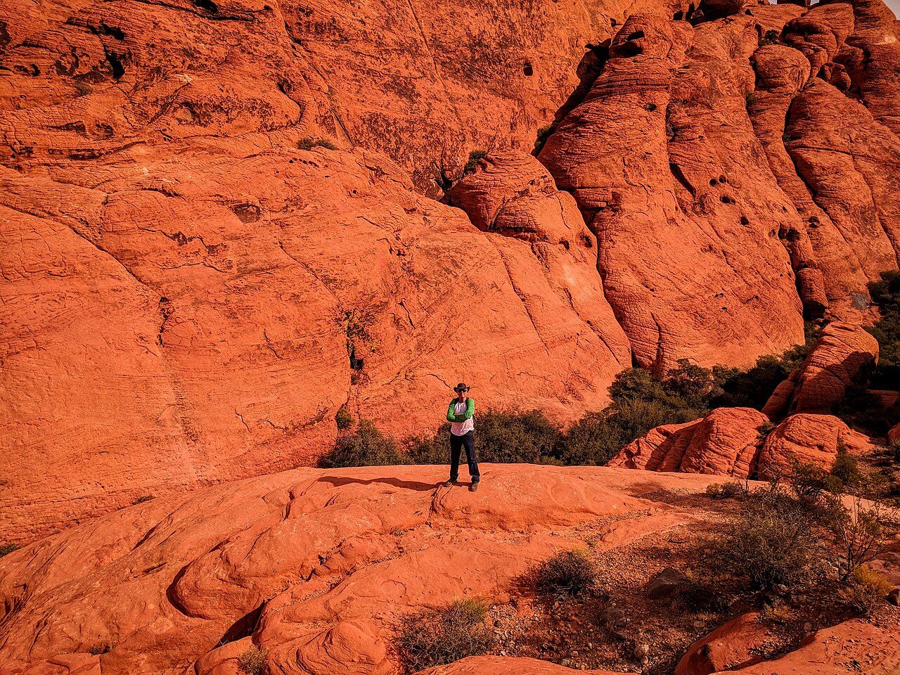

From the Strip, Red Rock reads as a jagged line of color on the western horizon. Up close it splits into two very different kinds of stone. The red, cream and orange cliffs are Aztec Sandstone, laid down in the Jurassic as wind-blown sand and later cemented into rock. Above and behind much of it sits darker gray limestone that is far older. That upside-down arrangement is the work of the Keystone Thrust, a fault along which the old rock was shoved up and over the younger sandstone. You can trace the contact line from several stops on the drive, and it is the single most useful thing to know before you go: the gray caps are older than the red walls beneath them.
The Bureau of Land Management runs the area. Congress made it Nevada's first National Conservation Area in 1990, the seventh in the country. Most visitors see it from the 13-mile (21 km) Scenic Drive, a one-way paved loop that begins next to the visitor center and ends back on State Route 159. Parking happens only in the marked lots, and the agency asks drivers not to stop on the roadway, even for a photo.
The landscape changes quickly along the loop. The first miles run past the Calico Hills, where iron minerals have stained the sandstone into bands of rust and pale yellow. Further on, the road climbs toward High Point Overlook and then bends south beneath the high escarpment, where side canyons such as Ice Box and Pine Creek cut back into the cliffs. Those canyons hold shade, seasonal pools and, after wet winters, small waterfalls; they feel nothing like the open desert a mile away.
People have used this ground for a very long time. Rock art and roasting pits survive near the springs, and the area around Willow Spring has a short trail past a panel of petroglyphs. Between 1905 and 1912 a company quarried the sandstone near the Calico Hills; the stop called Sandstone Quarry still carries the name and a few cut blocks.
The visitor center is worth the stop on its own. Its outdoor exhibits are built around earth, air, fire and water, and it is the last place inside the area to fill water bottles. Staff can tell you which trails suit the day's heat and your group.
Highlights
Calico Hills
Banded red and buff sandstone close to the start of the Scenic Drive, best seen from the Calico I and II pullouts. The Calico Tanks trail from Sandstone Quarry climbs among these rocks to a natural water pocket.
High Point Overlook
The highest stop on the loop, with a wide view back over the Calico Hills and across the valley toward the city.
Keystone Thrust
A short trail leads to a place where the gray limestone visibly rests on top of the younger red sandstone, the clearest look at the fault that shaped the escarpment.
Pine Creek Canyon
A trail toward a shaded canyon below the main cliffs, recommended by the BLM for visitors looking for a quieter walk away from the busiest stops.
Heat
Summer highs in the conservation area can average over 100 °F (38 °C). The BLM advises at least two liters (about 68 fl oz) of water per person plus a liter per mile of hiking, starting early, and getting out of the sun immediately if you feel dizzy or nauseated.
Climate compared with the Strip
Normal daily high and low by month at NOAA's Red Rock Canyon (Spring Mountain Ranch) station (3780 ft), with the Las Vegas high as a dashed line. In July this station averages 95°F, -9°F against the Strip; in January 53°F (-5°F).
Normal high Normal low Las Vegas high Precipitation
| Month | Jan | Feb | Mar | Apr | May | Jun | Jul | Aug | Sep | Oct | Nov | Dec |
|---|---|---|---|---|---|---|---|---|---|---|---|---|
| High °F | 53 | 56 | 64 | 70 | 80 | 90 | 95 | 94 | 87 | 75 | 62 | 52 |
| Low °F | 32 | 35 | 41 | 47 | 56 | 67 | 73 | 72 | 62 | 50 | 38 | 32 |
| Rain in | 1.37 | 2.02 | 1.36 | 0.64 | 0.23 | 0.09 | 0.81 | 0.44 | 0.56 | 0.67 | 0.66 | 1.09 |
| Days ≥100°F | 0 | 0 | 0 | 0 | 0 | 3 | 9 | 6 | 0 | 0 | 0 | 0 |
Sunset here
Sunset and the end of civil twilight at Red Rock Canyon Visitor Center on the 15th of each month (local time, daylight saving included), and the difference from the Strip. Mountains to the west can hide the sun earlier than the computed time.
| Date | Sunset | Dark | vs Strip |
|---|---|---|---|
| Jan 15, 2027 | 4:51 pm | 5:19 pm | +1 min |
| Feb 15, 2027 | 5:23 pm | 5:49 pm | +1 min |
| Mar 15, 2027 | 6:49 pm | 7:15 pm | +1 min |
| Apr 15, 2027 | 7:15 pm | 7:42 pm | +1 min |
| May 15, 2027 | 7:41 pm | 8:10 pm | +1 min |
| Jun 15, 2027 | 8:01 pm | 8:31 pm | +2 min |
| Jul 15, 2027 | 7:59 pm | 8:28 pm | +1 min |
| Aug 15, 2027 | 7:32 pm | 7:59 pm | +1 min |
| Sep 15, 2027 | 6:49 pm | 7:15 pm | +1 min |
| Oct 15, 2027 | 6:06 pm | 6:32 pm | +1 min |
| Nov 15, 2026 | 4:34 pm | 5:01 pm | +1 min |
| Dec 15, 2026 | 4:28 pm | 4:57 pm | +0 min |
Sources
- blm.gov/programs/national-conservation-lands/nevada/red-rock-canyon
- blm.gov/sites/default/files/docs/2026-01/RRCKeystone_Jan2026.pdf (BLM Keystone visitor guide, Jan 2026)
- recreation.gov/timed-entry/10075177
- 8newsnow.com/news/local-news/heres-how-reservations-work-as-red-rock-canyon-time
- fox5vegas.com/2026/08/10/not-prepared-officials-highlight-extreme-heat-dangers-f
- en.wikipedia.org/wiki/Red_Rock_Canyon_National_Conservation_Area
- wikidata.org/wiki/Q1143382
- OpenStreetMap / Nominatim: Red Rock Canyon Visitor Center, 1000 Scenic Loop Dr (coordinates)
Uncertain or disputed
- Age and origin of the Aztec Sandstone (Jurassic, wind-blown dunes) and the Keystone Thrust: stated by Nevada State Parks for the same formation at Valley of Fire, by Wikipedia and geology sites; the BLM visitor guide marks the Keystone Thrust but does not explain it. Dates for the thrusting differ between sources, so none are given.
- Ice Box Canyon seasonal pools/waterfalls: from general descriptions; the BLM guide mentions a seasonal waterfall on another trail. Worded as 'after wet winters'.
- Willow Spring petroglyphs: the BLM guide map labels a 'Petroglyph Wall Trail' near Willow Spring; the outdoor exhibit theme (earth, air, fire, water) is from the BLM page and Wikipedia.